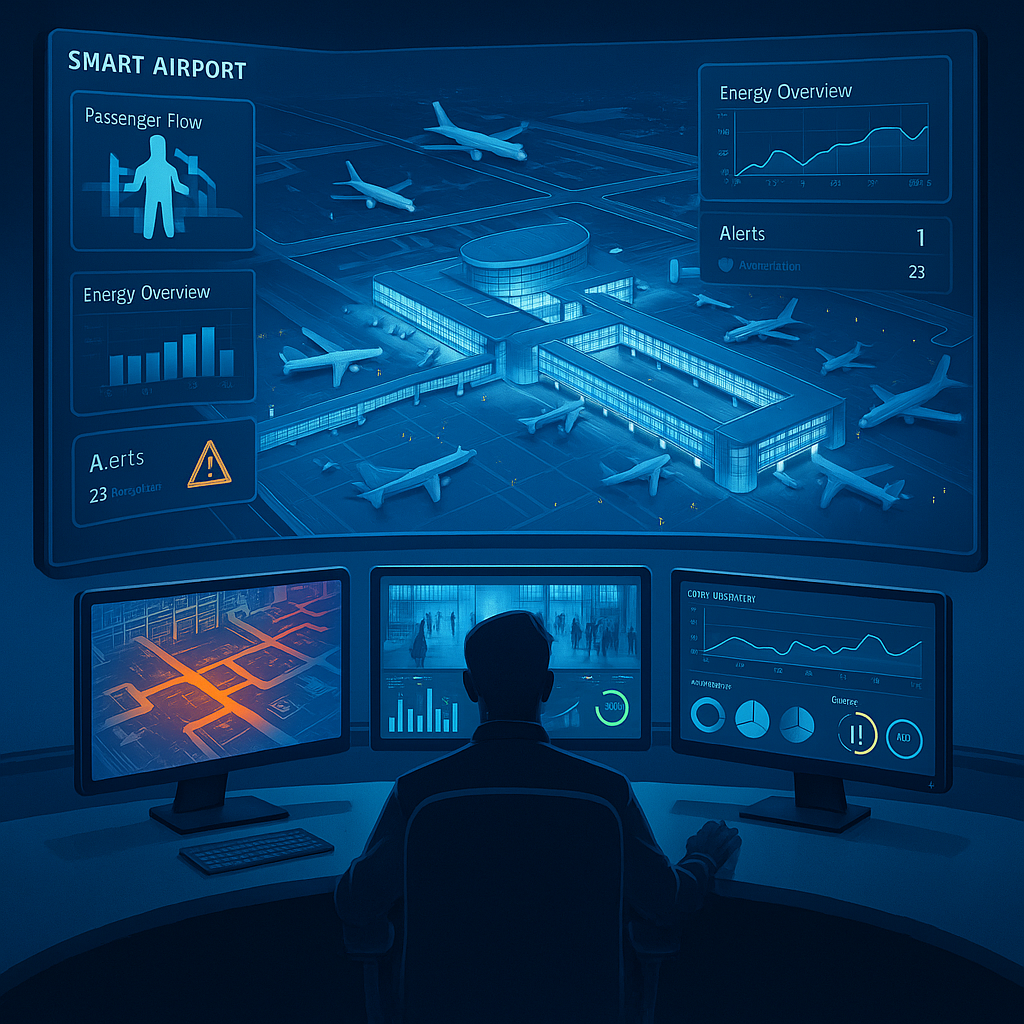
Modern airports are no longer just transit hubs. They are complex, data-rich ecosystems managing thousands of real-time processes from gate assignments and passenger flow to predictive maintenance and energy consumption. At the core of this transformation is the integration of 3D geospatial engines and AI-powered digital twins.
In this blog, we explore how Linkay’s patented 3D GeoEngine A2S3 technology, combined with AI systems, is redefining airport operations for efficiency, safety, and sustainability.
Why Airports Need Smart Infrastructure
Airport operators are under immense pressure. Passenger volumes are surging post-pandemic, but so are operational complexities and sustainability demands. A 2024 report by Esri notes that “smart mapping and spatial analysis enable airport managers to integrate information and make real-time decisions while protecting passenger safety and airport assets”.
From runway operations to retail zones, airports now rely on sensor data, AI analytics, and 3D digital models to orchestrate thousands of variables in real time.
The Power of 3D GeoEngine A2S3
Linkay’s USP-granted 3D GeoEngine (Patent #10268740) creates real-time, multi-layered 3D models of large physical spaces like airports and subway systems. It’s built for:
– Spatial intelligence: Visualize terminal layouts, runways, and utility systems in full 3D.
– Asset tracking: Monitor ground vehicles, baggage systems, and infrastructure.
– Simulation & planning: Test layout changes and construction impacts before implementation.
This is not just a visual tool; GeoEngine powers the digital twin of the airport.
Digital Twins Meet AI
A digital twin is more than a 3D model. It becomes intelligent when integrated with AI and real-time data feeds. For example:
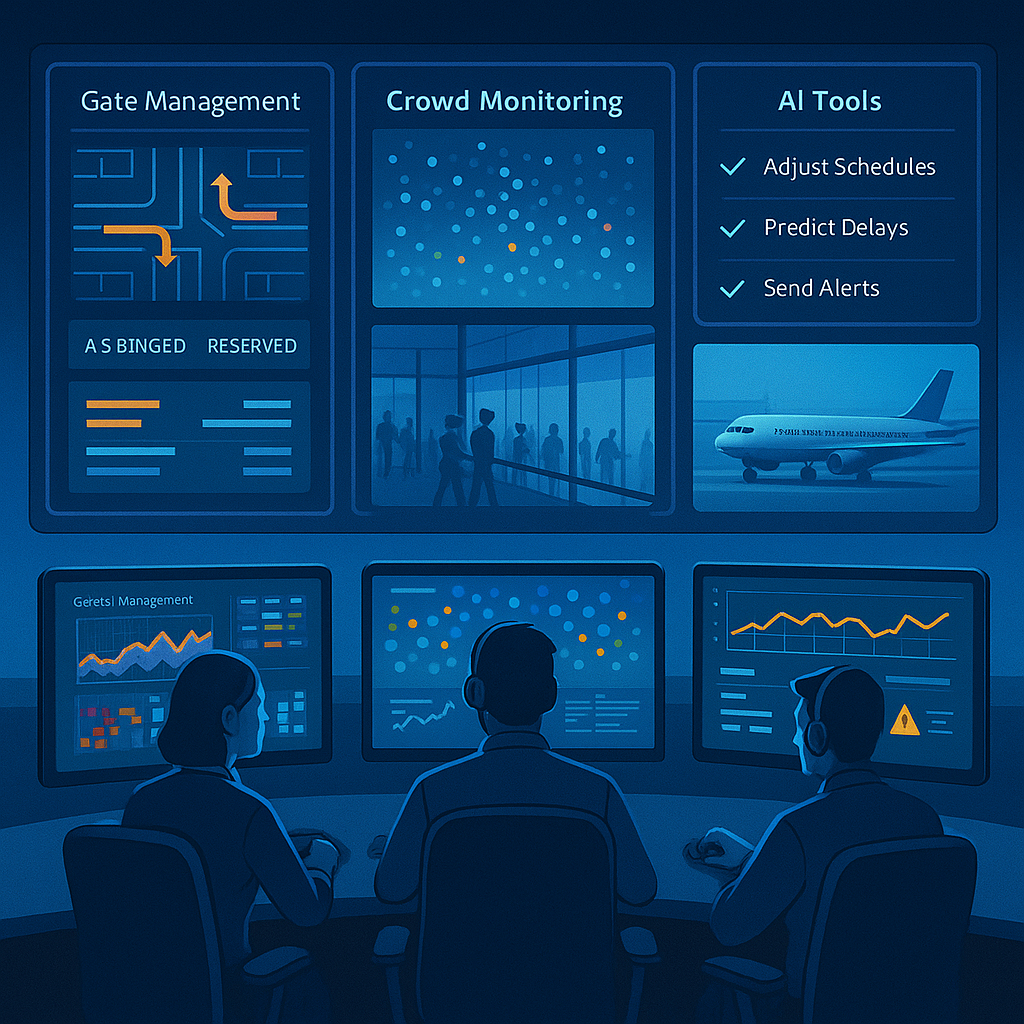
– AI algorithms analyze foot traffic to adjust digital signage and direct passengers more efficiently.
– Machine learning models predict gate delays based on incoming flight congestion and historical data.
– Energy consumption data from IoT sensors is used to optimize HVAC systems during low-traffic periods.
Schneider Electric highlights how smart airports can “maximize uptime, reduce energy consumption, and manage costs” by integrating AI with IoT and spatial data infrastructure.
Operational Benefits
Efficiency Gains
GeoEngine enables AI to make decisions based on the real-world geometry of the airport, such as how far gates are from customs, how long a taxi route takes, or where passengers cluster during peak hours.
Predictive Maintenance
3D infrastructure mapping allows AI to monitor wear-and-tear hotspots. Sensors detect anomalies, and automated systems dispatch maintenance crews before failures occur.
Emergency Response Optimization
When emergencies strike, AI-driven digital twins identify optimal evacuation routes and deploy response teams with spatial precision.
Revenue Optimization
Retail layout simulations within the 3D engine help maximize exposure and revenue per square foot by analyzing passenger dwell time and movement patterns.
Sustainability as a Feature
Sustainability is no longer a nice-to-have. Airports must meet carbon reduction mandates. With 3D GeoEngine, AI can dynamically adjust lighting, heating, cooling, and ventilation systems based on real-time occupancy.
Digital twins also help operators simulate infrastructure upgrades, such as switching to electric shuttles or solar panels, and measure their carbon impact before implementation.
A Vision of the Future
Imagine this:
– You arrive at the airport.
– AI has already optimized your check-in route based on congestion.
– Your baggage is routed via a real-time 3D logistics simulation.
– Your gate changes? The system reroutes you with digital signage powered by your mobile location.
– Meanwhile, the HVAC system in the lounge adjusts based on actual occupancy, not pre-set timers.
This isn’t the future. It’s what Linkay’s GeoEngine and AI platform make possible today.